This semester I've helped to facilitate nine university-community partnerships in my upper-division GIS classroom (GEO509), drawing on previous instantiations of this program in 2011 and in 2010. The students will be presenting their work on these projects on May 2nd, and have composed abstracts and provided snapshots of work-in-progress to help describe their projects.


Lawrence County, Kentucky Vaccination Campaign
Pilar Desha, UK Geography
Alli Sehon, UK Anthropology
Ron Enders, Lawrence County Health Department
With a grant from CancerFreeKY, the Lawrence County Health Department launched a vaccine campaign in 2011 to combat the growing HPV infection rate in Eastern Kentucky. The HPV vaccine is administered in three separate doses spread over a period of several months and can be extremely costly to patients even with insurance coverage. The Lawrence County HPV Vaccine Campaign is offering the full shot series for free to all county residents between the ages of 9 and 26. After several months of giving out vaccines, the Health Department, under the guidance of Dr. Ron Enders, wants to examine the success and shortcomings of their educational and medical campaign. Using patient-provided home addresses, UK students are examining the relationship between income, educational attainment, communication networks, and the physical topography to assess what areas of Lawrence County are unable to receive or are unaware of the HPV vaccine. Using data from the US Census Bureau at the census tract and block levels, a series of maps have been created which display the human terrain of Lawrence County and focus on a few key demographic elements. From these maps, patterns of social and economic barriers emerge, which can be used to guide and refine future decisions regarding the HPV Vaccine Campaign, with the goal of reducing the infection rate of young adults in Lawrence County, Kentucky.
Seedleaf: Mapping Food Systems
Jon Finnie, UK Geography and German
Jamie Keyes, UK Natural Resources
Ryan Koch and Rebecca Self, Seedleaf
In this project, students mapped the assets of the organization, including the gardens and compost bins spread across town. Students analyzed the location of these assets (u-pick sites, compost pick-ups at restaurants) with regard to the demographics of the north and east end where Seedleaf focuses their programming. Students will make Seedleaf gardens and composting sites more accessible to volunteers and to neighbors of the sites themselves, thereby fulfilling Seedleaf’s goals of growing gardeners and of making more nutritious food available in Central Kentucky's food deserts.
Open Lexington: Map Walks
Preston Evans, UK Geography
Dylan Powell, UK Geography
Chris Stieha and Chase Southard, Open Lexington
Students worked with Open Lexington, an organization advocating free and available local government data, and the students of another UK course called Digital Mapping (UKC101), to collect geospatial data about restaurant health inspections using ‘smart’ phones. Starting from public web-based resources, the students designed the data collection process, compiled the data post-collection, and utilized GIS software to produce multiple maps showing different aspects of the health inspection data. Students will showcase how these kinds of data can be used in spatial analysis of the city and in visualization projects through mapping, and also talk about the advantages and pitfalls of primary data collection in the modern world.

Kentucky River Watershed Watch: Mapping Volunteered Data
Esta Day, UK Library and Information Science
Jacob Van Winkle, UK International Studies
Bethany Overfield, Kentucky River Watershed Watch
Our project is directed at the KRWW, Powell County, Meniffee County, and Wolfe County governments to promote awareness of water quality in the Red River Watershed. We are creating two maps that display georeference bar graphs showing change over time of two water quality analyses: conductivity and fecal coliform count.

Mapping Special Collections: Mills
Beth Jenkins, UK Geography and Classics
Danny McCamish, UK Natural Resources Conservation Management
Drew Patrick, UK History
Ruth Bryan, UK Libraries
Our group took the information provided by Kenneth Pidgeon on historical mills and mill sites in Fayette and Clark counties and organized it to be more accessible to other researchers. Our first step was to sort through the paper documentation and create a more detailed Finding Aid that will allow people to more easily understand the scope and content of information on each mill. We also organized the digital information by mill. After cleaning up Pidgeon’s GPS data, we created several maps to display the information. First was an overview that shows each mill as a point over a modern map. The second was an overview of all mill locations over a nineteenth-century base map. Finally, we went into more detail for three specific mills for which Pidgeon provided the most geographic and historical information. For these case studies, we created individual maps and web links to some of the paper documentation available in the Special Collection folders. We are also keeping detailed records of the process by which we complete this assignment and will be creating an additional library entry titled “University of Kentucky. College of Arts and Sciences. Department of Geography. GEO 509 Geographic Information Systems Workshop: Project records on the Kenneth Pidgeon Papers, 2012.” Ideally, this document collection will be used by future researchers who are interested in how GIS was taught and practiced during the early 21st century. We will be presenting our final products, including the Finding Aid, maps and links to paper documentation, to the class and community partners during our final meeting, in addition to filing them with the University of Kentucky Special Collections.

Economic Development Support Structures
Hannah McKenrick, UK Entomology
Joshua Spears, UK Geography
Shane Barton, UK Appalachian Center
This project is done in collaboration with the UK Appalachian Center. The Center’s primary goal is to facilitate connections between students, faculty members, colleges and universities, and the Appalachian community of Kentucky in order to address the particular needs of the Appalachian community. This particular project is part of a larger research initiative currently being spearheaded by the UK Appalachian Center and a National Science Foundation-funded working group within the Appalachian Region. The primary goal of this project was to facilitate communication between development agencies and businesses using maps of service areas as categorized by service type provided. The end product includes maps and descriptions of every organization that serves the economic needs of at least two counties within Appalachian Kentucky. The services provided by all these organizations were then subdivided into service categories which were then mapped. Finally, in order to make this information accessible to those businesses in the region who will utilize this data most, the maps will be supplied via interactive display on the UK Appalachian Center’s website.

Local Museum Trail Project
Clay Bisceglia, UK Geography
Katie Eaton, UK Natural Resources and Environmental Science
Mark Morrow, UK Geography
Ann Kingsolver and Shane Barton, UK Appalachian Center
While working with the UK Appalachian Center, we have developed a series of maps that plot historical sites throughout the Kentucky Appalachian counties (as well as some connecting counties). Our main historical focus was sites on the Affrilachian Trail, a related project on a virtual tour of African American history in Appalachia. These maps will be interactive and available through publicly accessible media applications. Many counties are using historical tourism as means of economic development, and this virtual trail will help connect their efforts.

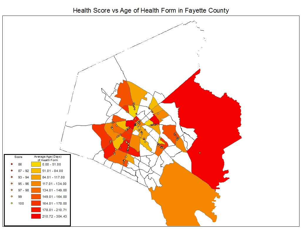
Kentucky Council on Peace and Justice: Mapping Youth Services
Zach Nicholas, UK Geography
Amanda Witbeck, UK Geography
Kerby Neill, Kentucky Council on Peace and Justice
We have used the Kentucky Council on Peace and Justice’s Youth Initiative survey to analyze the needs of youth within Fayette county. We have mapped youth service assets, such as churches and other youth agencies/organizations, to show the relationship of their locations to the youth in need of outreach programs. We are creating choropleth maps, pie charts, and dot density maps showing priorities of youth, youth demographics, and maps of assets that can be used for youth outreach.

Post Office Project
R. Jarrod Chandler, UK Geography
Araba Prah, UK Architecture
Miles Waskey, UK Geography
Ann Kingsolver and Shane Barton, UK Appalachian Center
In March of 2011, the United States Postal Service released a list of thousands of post offices branches slated to be closed. A major issue the public is having is gaining a recently updated list on these closings and when these locations will officially close their doors. Particularly in rural communities, post offices have become a fixture in the area’s urban fabric. A place to congregate and receive news; many times these centers are multigenerational with 3rd or even 4th generation postmasters. Research has shown Kentucky’s Appalachian Region to have a high number of proposed closings, with about 90 planned within 54 counties. The focus of the Appalachian Post Office Project is to map the locations of proposed post office closings and create analytical maps which describe certain demographic characteristics such as economic status, percentage of individuals over the age of 65, and broadband access. In conjunction to the analytical analyses, an interactive map displaying existing and proposed closures with links to recent and historical photographs of post offices will give the public an interface to explore. Advocacy to stop these closings is not the intent of this project, but rather to inform the public of the important role post offices play in Kentucky’s rural communities.
Những câu stt buồn hay - độc nói về tình yêu và cuộc sốngMọi chuyện buồn cũng sẽ qua thôi vì có anh ở đây rồi
ReplyDeleteTư thế quan hệ vợ chồng 69 là gì?Trong cuộc sống vợ chồng, bạn cần có phương pháp để giữ lữa tình yêu, làm thế nào mà vợ chồng giống như lúc mới yêu. Lúc nào cũng yêu thương và luôn nghĩ về nhau.
Nằm mơ thấy tai nạn giao thông là điềm báo gì?Trong những giấc mơ hàng ngày, chắc rằng bạn đã từng một lần nằm mơ thấy tai nạn giao thông.
Những hình ảnh quan hệ tình dục nóng cận cảnhChuyện giới tính luôn là một vấn đề khiến cả hai giới tò mò thích thú. Bản năng tình dục của con người dường như là nhu cầu tất yếu, là một vấn đề hết sức bình thường
Cây cỏ mực có công dụng chữa trị bệnh gì?Hầu hết mọi ngừoi dân việt nam từ xưa đến nay đều có niềm tin vào cây thuốc nam. Cách sử dụng rất đơn giản, dể làm nếu như bạn nắm được công dụng của chúng.
Cách nhận biết phụ nữ mới vừa quan hệ tình dục xongBạn cảm thấy tò mò, thắc mắc mỗi khi gặp những ngừoi phụ nữ xung quanh mình. Rằng cô ấy đã từng quan hệ tình dục hay chưa?
Cách nhận biết dấu hiệu khi phụ nữ lên đỉnhCó rất nhiều chàng trai khi quan hệ với ngừoi phụ nữ của mình nhưng không biết được khi nào họ lên đỉnh. Mình chiến như vậy liệu có được hay chưa, có làm nàng thoã mản hay chưa
Dắm táo mật ong có tác dụng làm đẹp là gì?Đôi khi bạn có thể lo lắng về việc sử dụng các loại kem dưỡng da trên thị trường, tuy nhiên nếu sử dụng dấm táo thì có thể bạn sẽ không còn phải bận tâm nhiều nữa
Làm sao để đẹp trai như tài tử hàn quốcAi xin ra trên đời này đều muốn mình có thể đẹp trai, đẹp gái, là một trong những trai xinh gái đẹp được nhiều ngừoi yêu thích
Thuốc 7 màu có tác dụng trị gì - bán ở đâu?Một loại thuốc mà đi đâu cũng không thể thiếu là thuốc 7 màu, bạn bị nấm, bị ngứa, hay bị dị ứng thì thuốc 7 màu đều có công dụng chữa trị được hết
Quan hệ tình dục với nhiều người cô bé có bị rộng ra không?Việc quan hệ tình dục quá mức sẽ làm cho cơ thể mệt mỏi, tinh khí suy hao, khí huyết hư tổn. Người xưa từng nói: “Giữ tinh khí, thu dưỡng tinh thần, uống các thuốc bổ dưỡng thì có thể trẻ mãi không già.